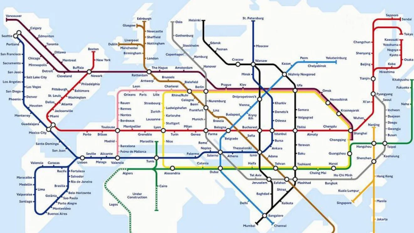
Imagine One Day Having This Train Map
Published November 14, 2026
In June 2020, Twitter user @daveloach2 shared a hypothetical world transit map with long rail lines cutting through oceans, captioned 'imagine one day having this train map.' The post gained over 84,000 likes in two days and spawned parody images that reused the exact caption. By June 19, 2020, Twitter had published an official 'events' page collecting the viral replies into one feed.
Overview
The joke works by presenting an obviously impractical map as if it were an aspirational infrastructure plan, so the mismatch between caption and image carries the humor. The source image showed long rail lines running straight through oceans and empty deserts, linking cities in ways no actual train could follow1. Readers responded as if the proposal were sincere, mocking the gaps in logic.
Parody versions reused the exact caption and swapped the image for something else. @ChippixOfficial drew a map where every country was covered in dense rail networks except the United States, which got a car illustration and an extended middle finger3. @bicknaker tightened the view to a single city, posting a dense Berlin close-up under the same caption4. The result became a template for transit jokes aimed at US car dependency and European rail envy7.
Gallery
Origin & Background
How It Spread
Timeline
2015
Mark Ovenden's 'Transit Maps of the World' is published by Penguin, with the viral map on its cover.
2020-06-17
@daveloach2 posts the map on Twitter with the caption 'imagine one day having this train map.'
2020-06-18
Mark Ovenden replies, calling @daveloach2 the 'master of satire' and linking back to his 2015 book.
2020-06-18
@ChippixOfficial posts the US-car-and-middle-finger parody; @bicknaker posts a Berlin close-up; @johnlk_80 posts Google Earth screenshots of the routes.
2020-06-19
Twitter publishes an official 'events' page collecting the viral parody replies.
How to Use This Meme
Frequently Asked Questions
References (7)
- 1
- 2
- 3
- 4
- 5
- 6
- 7